Sierra de Agua · Perote · Hwy 140 Puebla–Xalapa
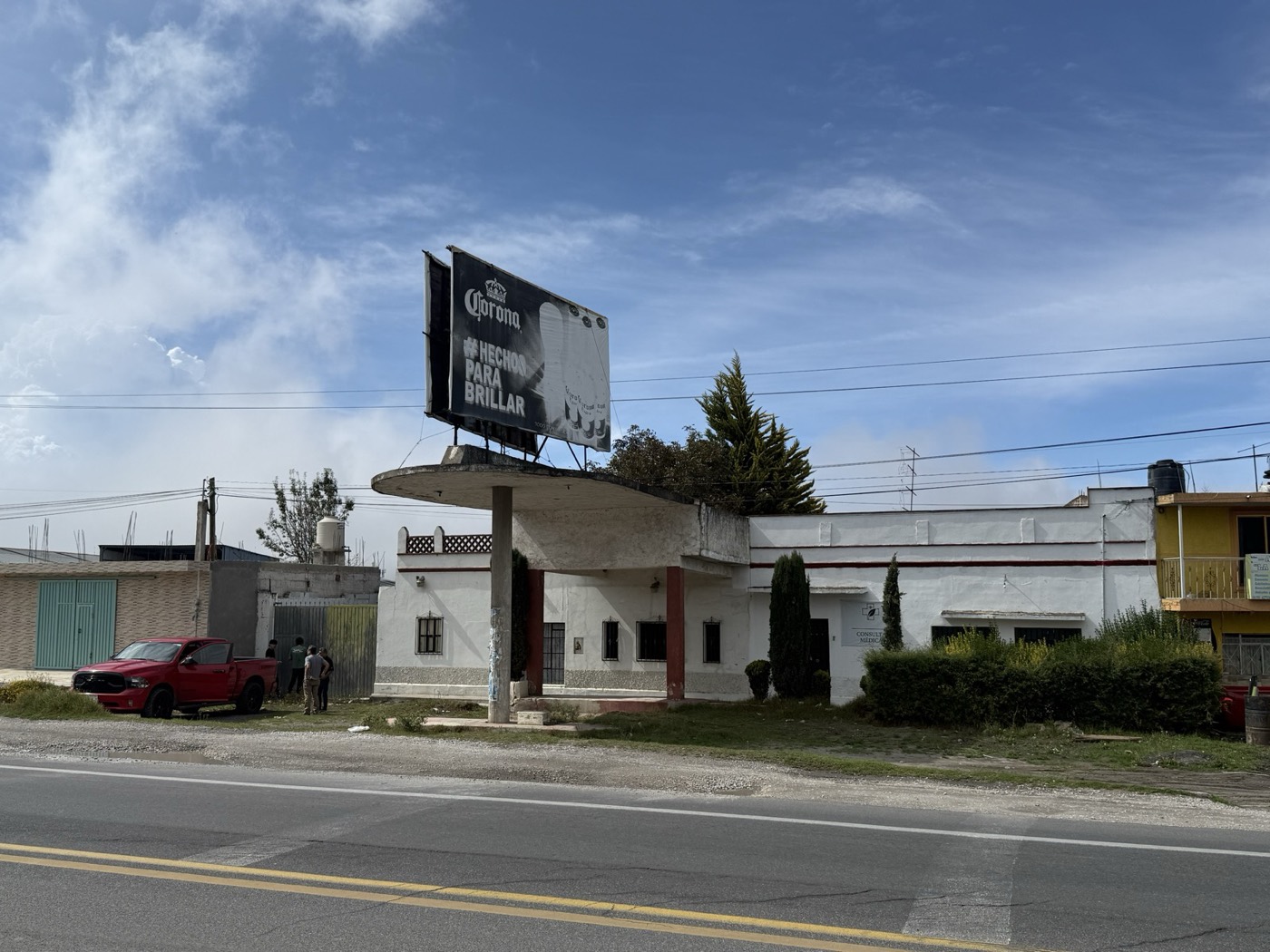
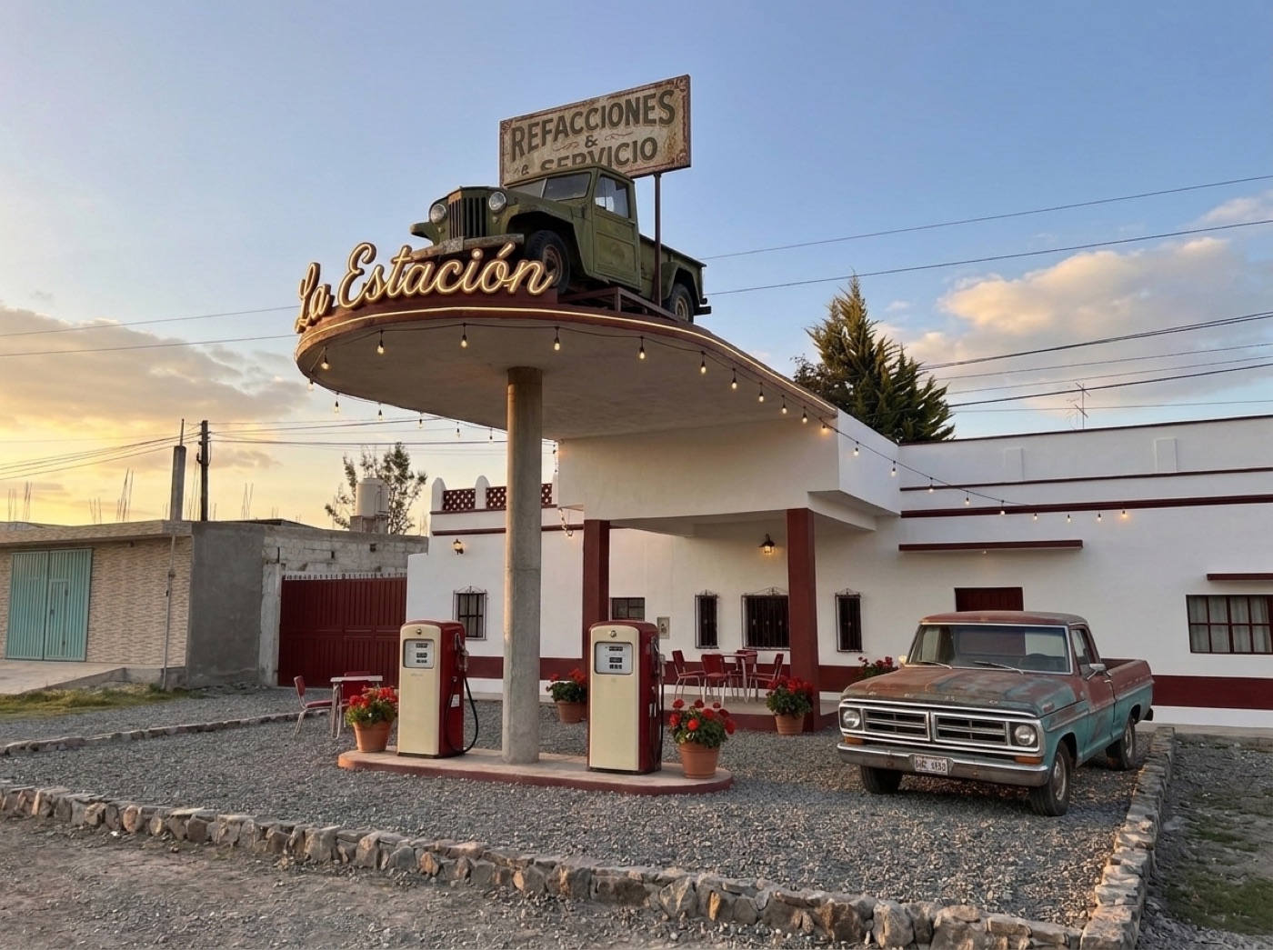
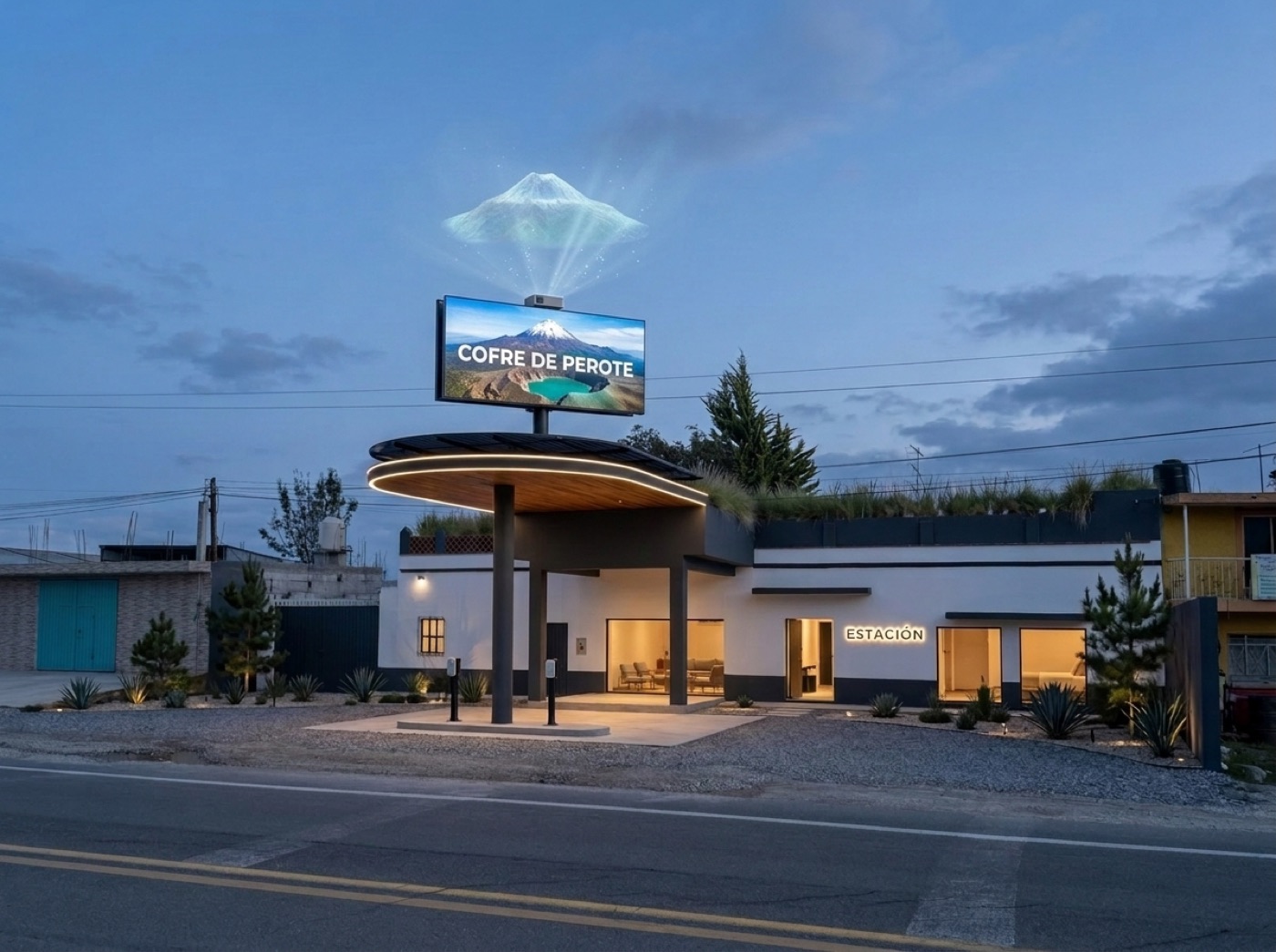
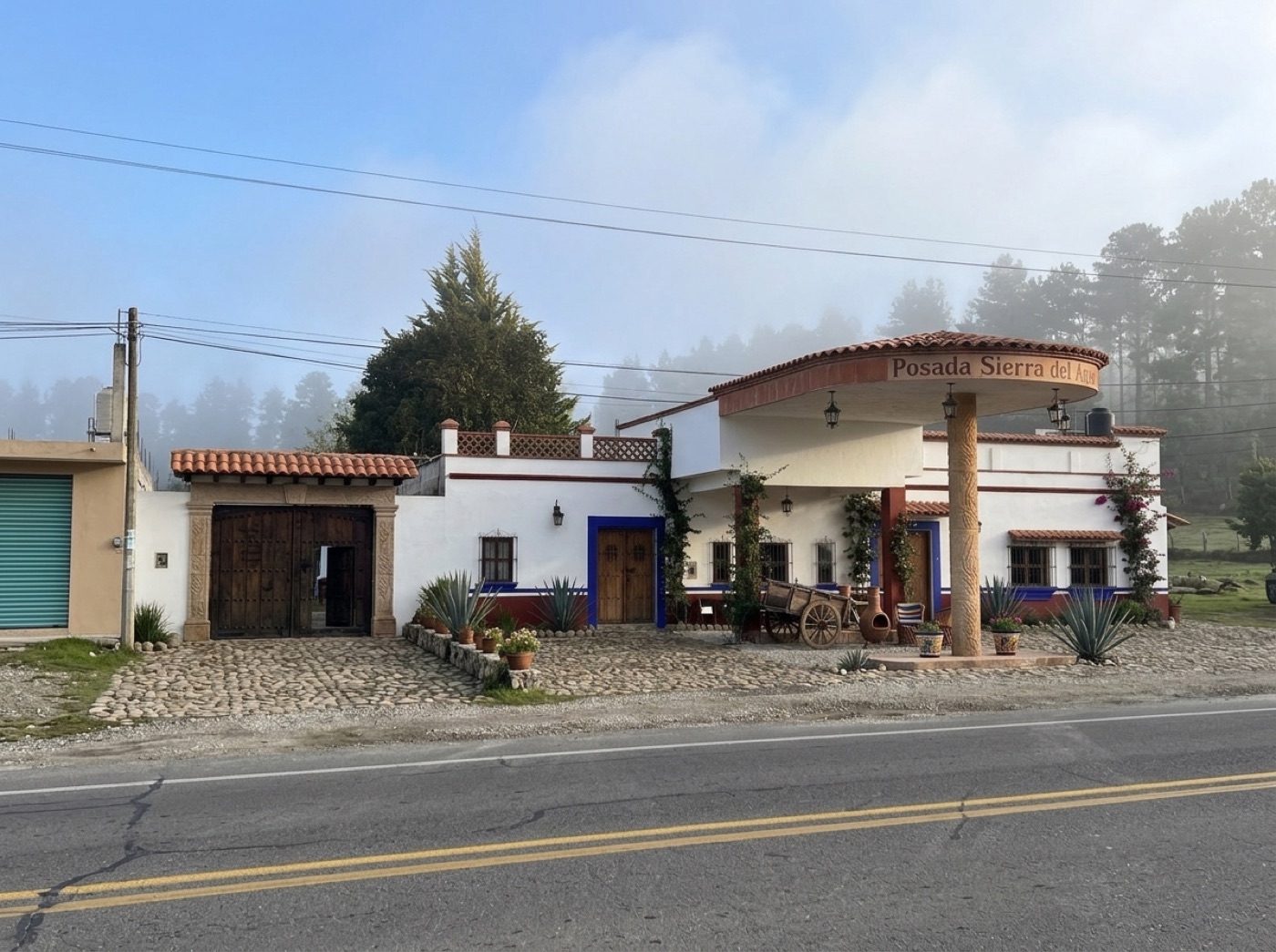
The grandfather's old gas station, later the area's first brick works and feed store, still in the family. This page shows three ways it could become a small guesthouse, and what brings visitors to this side of the Cofre de Perote.
Three directions, one building
Drag across each picture to compare today's photo with the mockup. Same camera, same walls, same canopy. Only the finish changes.
TodayNostalgia
Mockups made with Nano Banana 2.1 from Gaby's photos of 11 Oct 2026. They show a mood, not a plan: names on signs are placeholders, and the room interiors are invented (we have no interior photos yet).


Field guide · researched 11 Oct 2026
Drive times are from the property's own coordinates with no traffic, so real trips run longer with trucks, topes and fog. Each item links its source. The photos are real, from Wikimedia Commons, credited under each one.


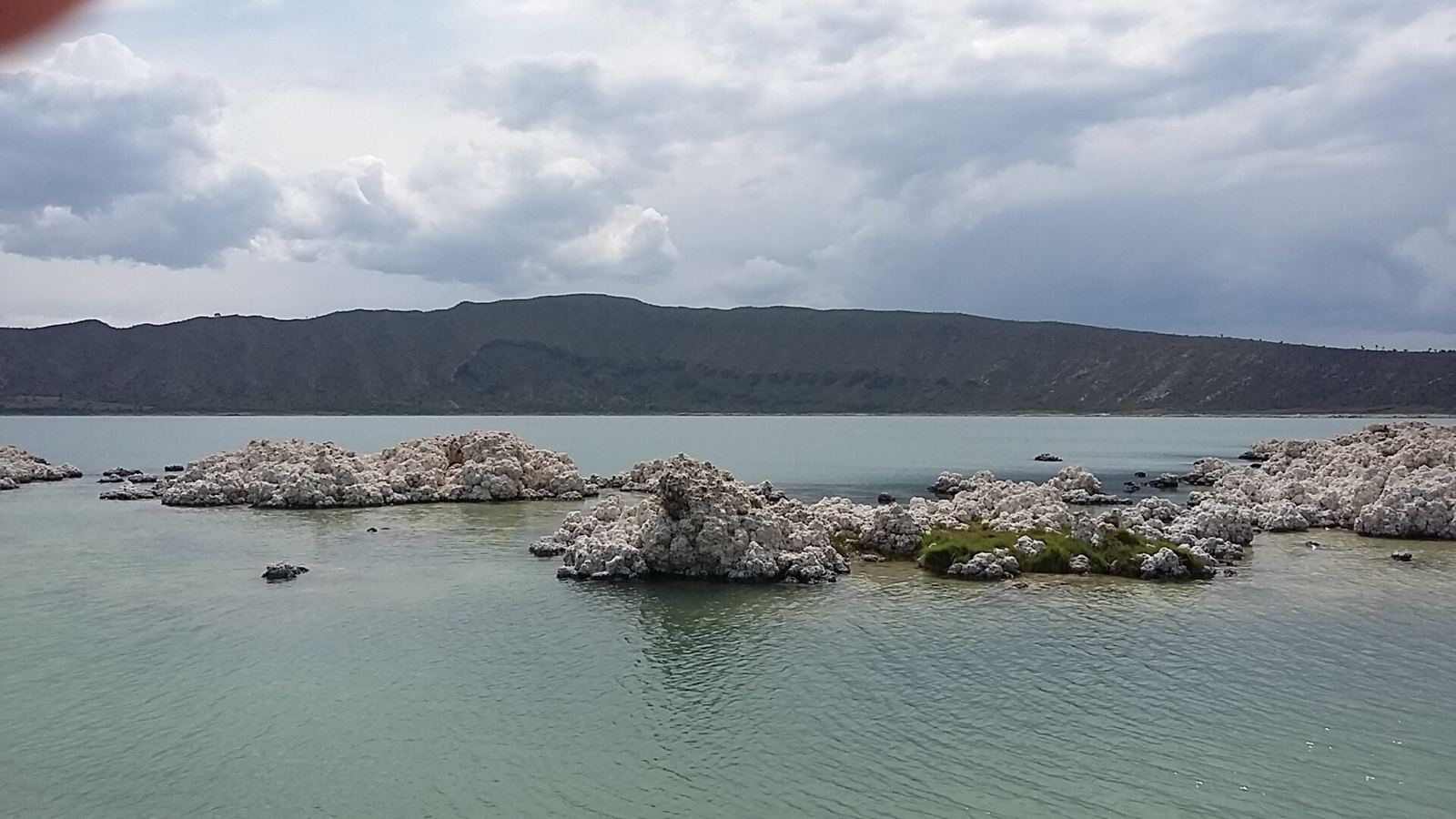
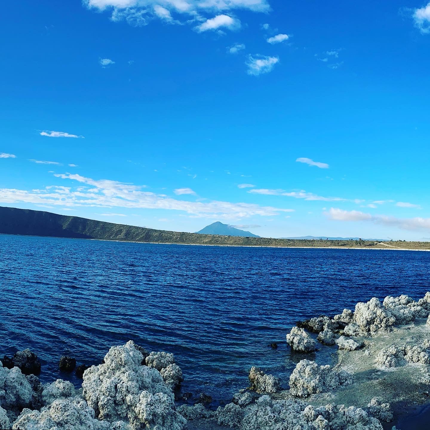
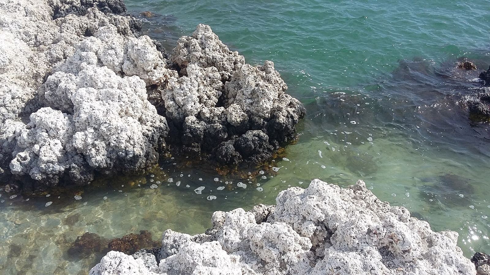
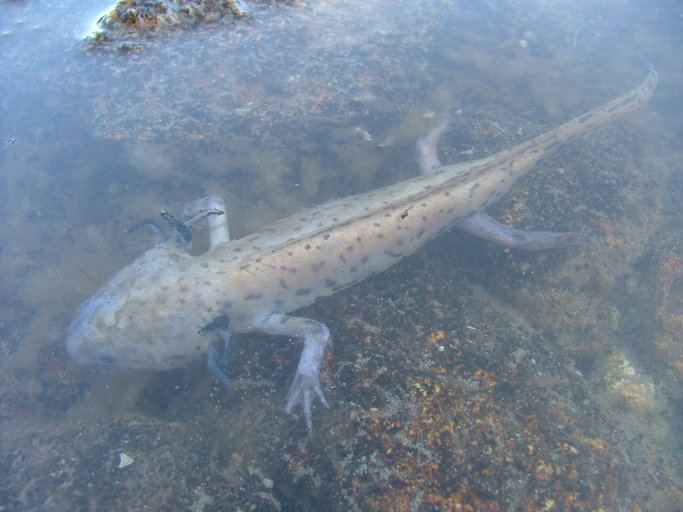
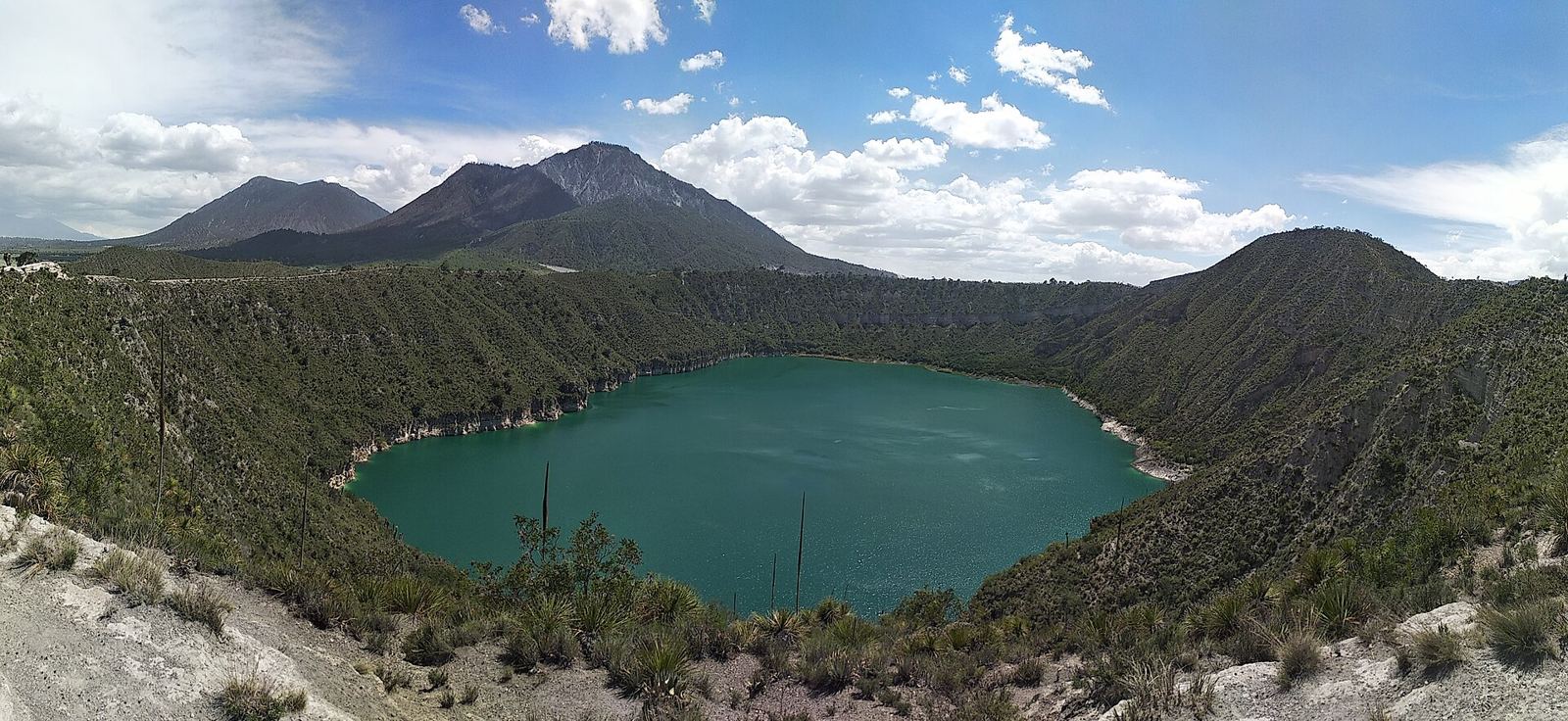
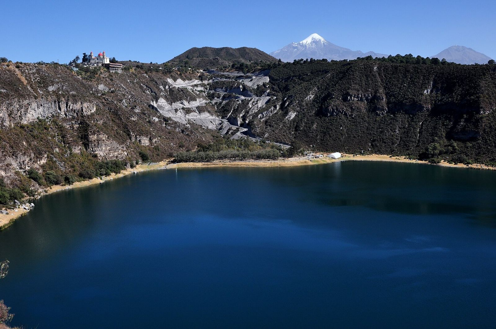
Mexico's deepest natural lake (64 m), ringed by white stromatolites, microbial build-ups that are among the oldest records of life on Earth. Kayak and boat rental, cold-water swimming (15–20 °C), diving with a local pro, lakeside restaurants, camping. In July 2026 a UNAM study with Spain's Centro de Astrobiología used it as an Earth stand-in for Jezero crater, where the Perseverance rover works. It is also the only home of a critically endangered axolotl, Ambystoma taylori, which a German foundation (Stiftung Artenschutz) supports. Inside a Puebla state protected area; events need permits.


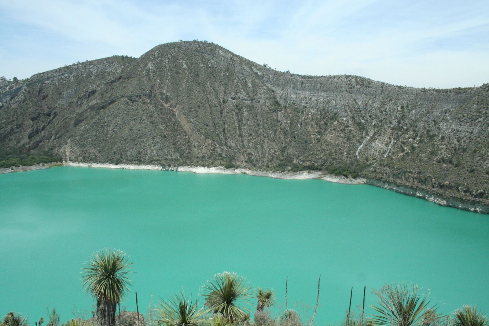
Turquoise water in a steep crater, popular for rim walks and photos. No swimming, no restaurants, no lodging of any kind, so visitors are sent back to Puebla city to sleep.

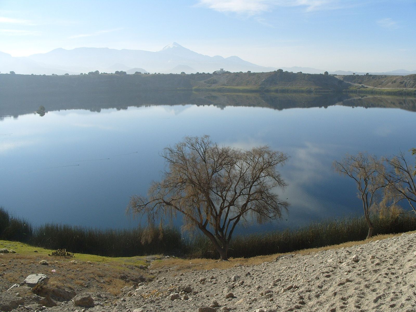
Quechulac has fishing, birds and Pico de Orizaba on the horizon; the water is too cold for swimming. La Preciosa (45 m deep, its own endemic fish) has almost no visitor services.

Camping in a small wood on the rim and Orizaba views. In winter the water turns from deep blue to emerald and fish rise to the surface, which locals call the azuframiento.

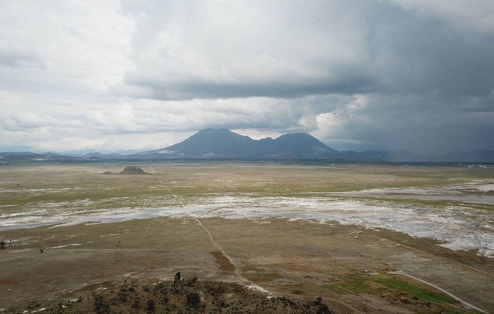
Playa lakes that fill in the June–October rains and dry out the rest of the year. Among the best shorebird spots in central Mexico: avocets, stilts, curlews, snowy plovers.


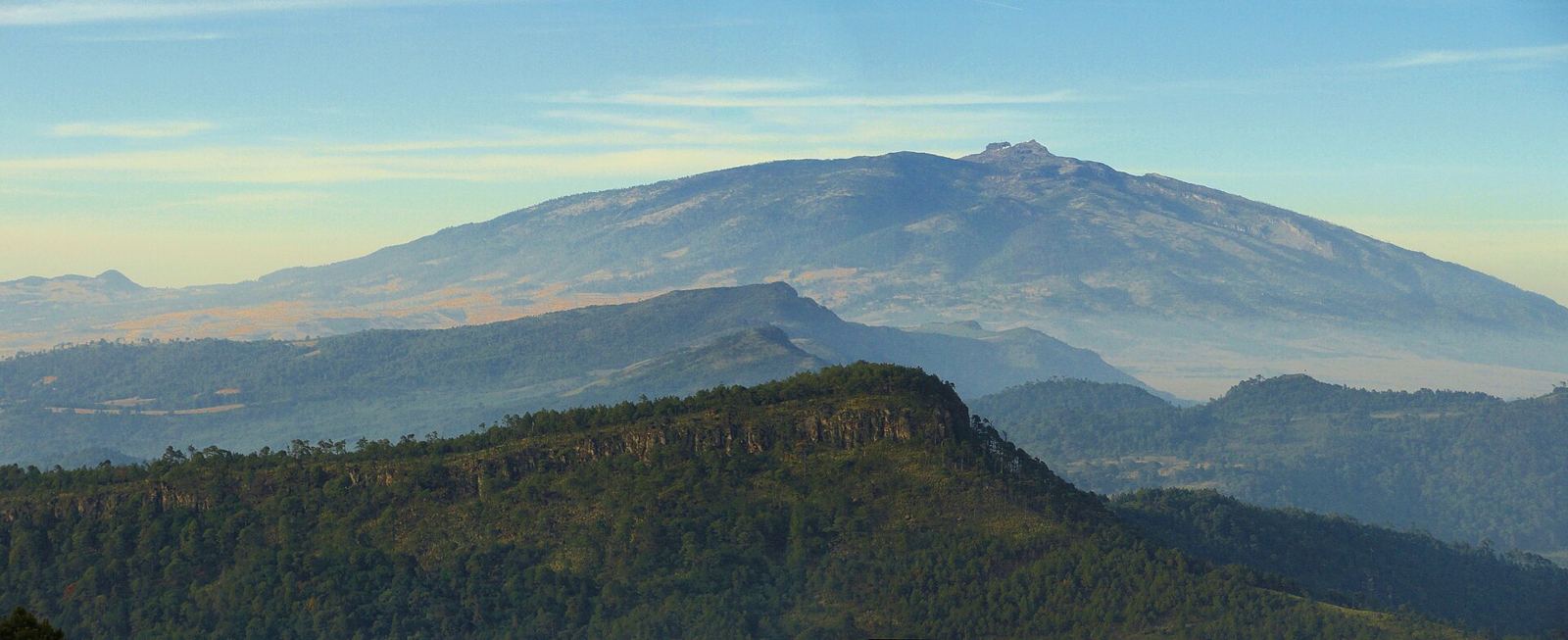
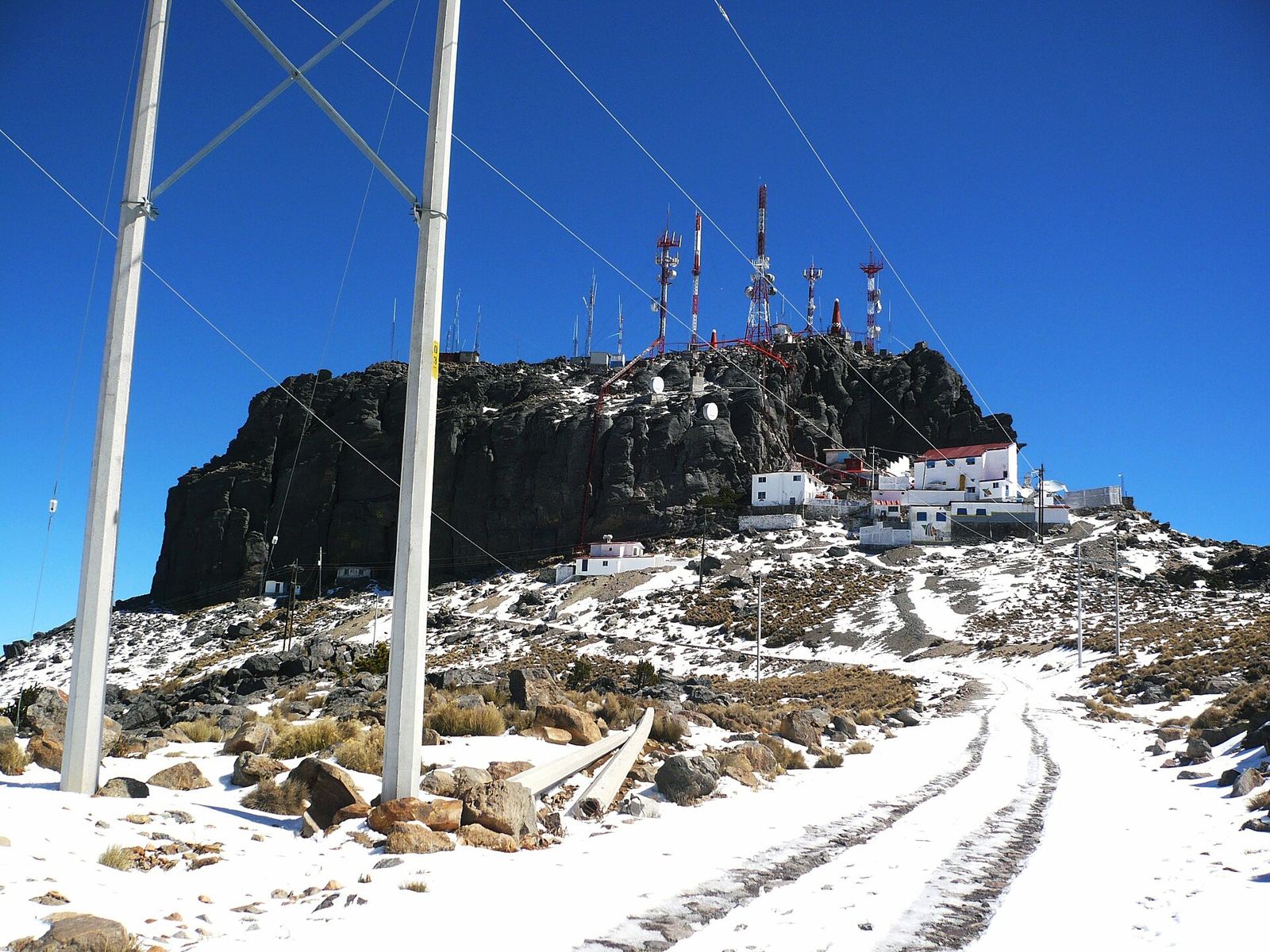
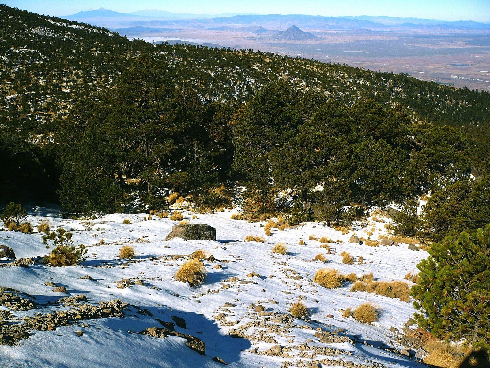
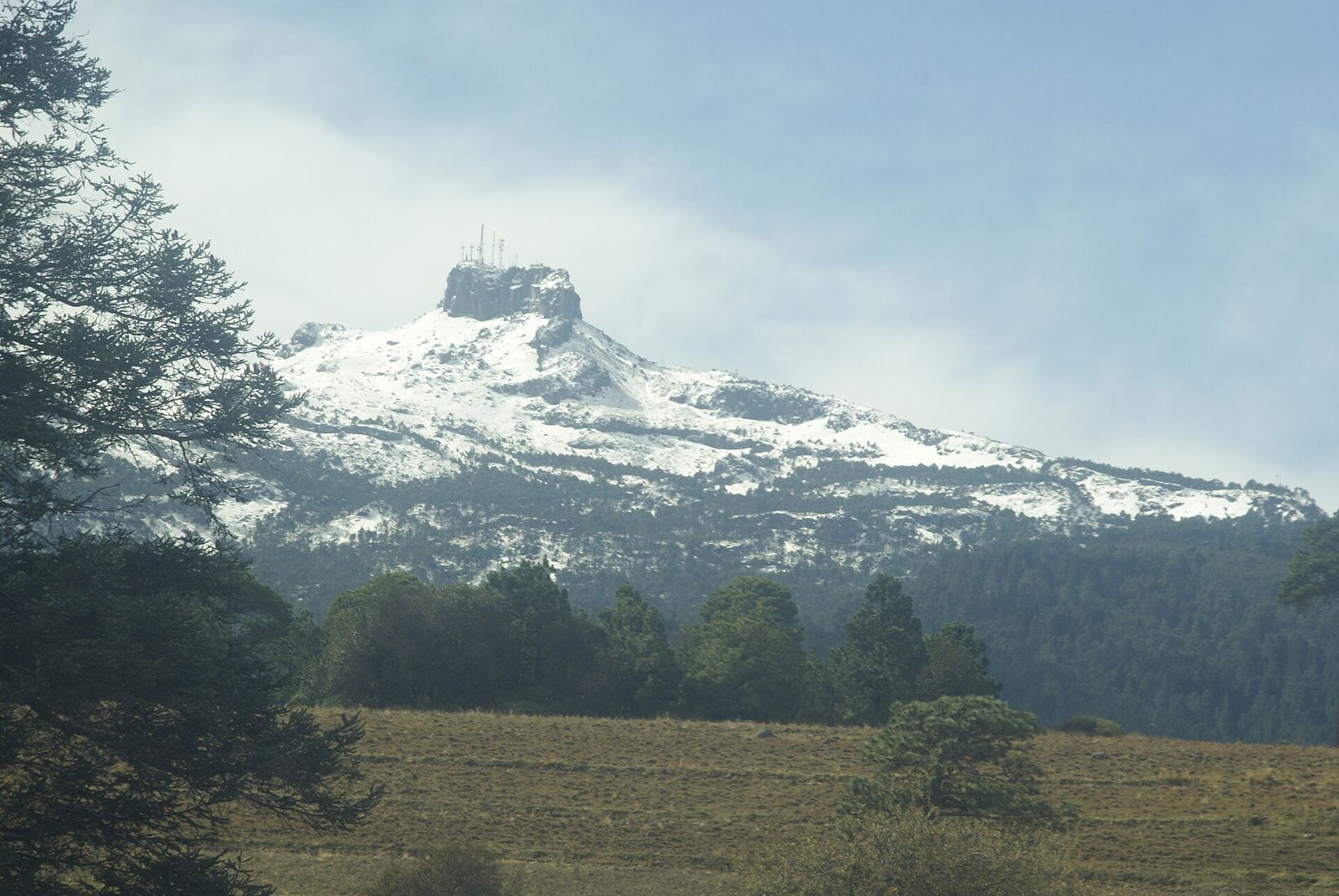
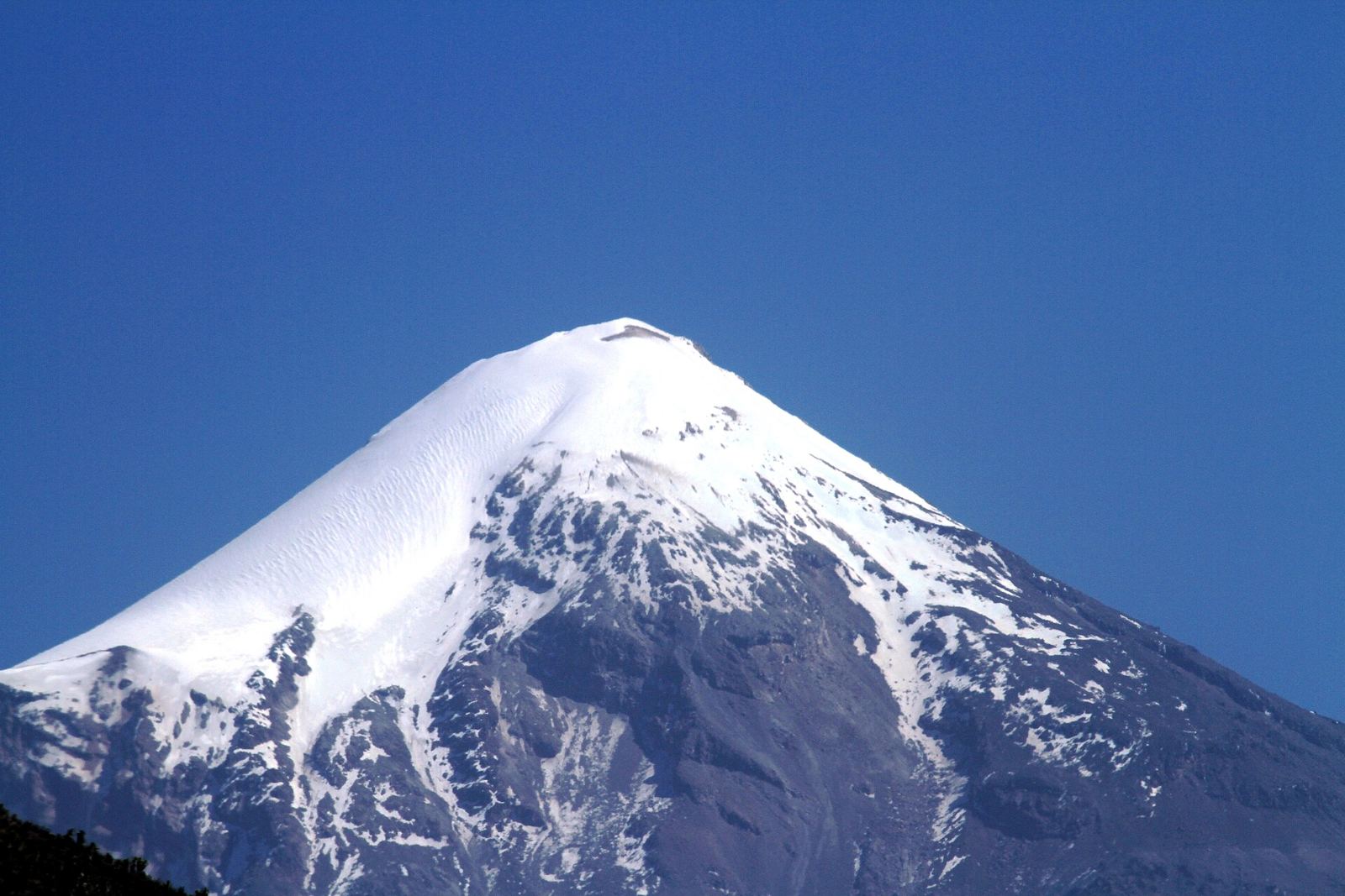
The classic route leaves the El Conejo recreation area; El Escobillo and La Pluma are the other main starts. Each is a 6–7 hour day rated hard for altitude, through pine forest that turns to pure Pinus hartwegii above 3,500 m. The top is La Peña, a 40 m lava block (a scramble, now crowned by antennas). A back road climbs the slopes from Sierra de Agua itself, though guidebooks prefer the Las Vigas approach. Private guided day hikes are sold all year.


Snow fell twice in late December 2025. On 12 January 2026 the park closed for rime ice at −9 °C. That is a draw for a winter weekend and a risk for a fixed itinerary.


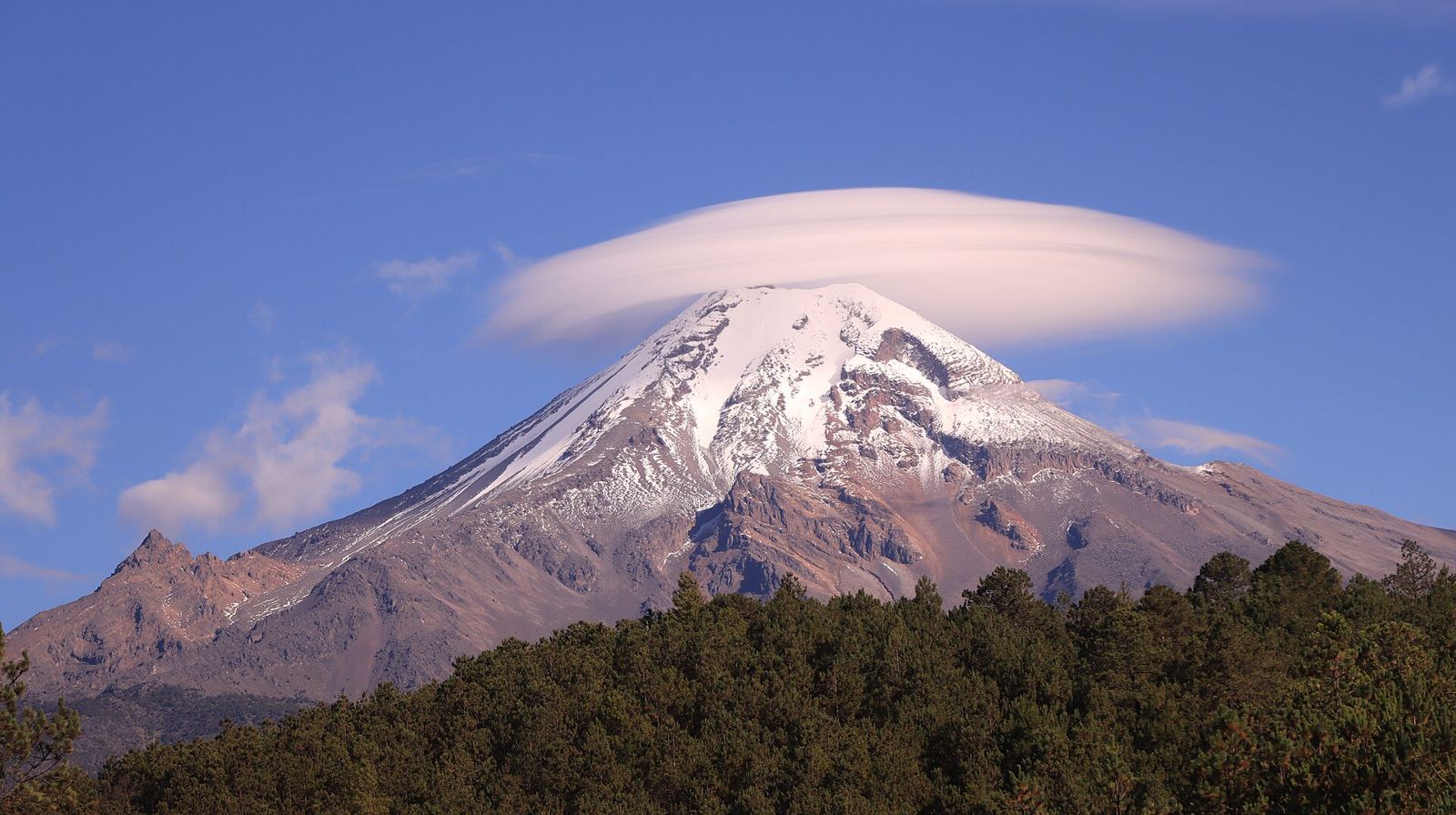
Orizaba (5,636 m) is Mexico's highest peak, climbed from Tlachichuca in the October–March dry season. A Cofre summit day makes a natural acclimatisation day before it.
Valle Alegre (Las Vigas side) has cabins, camping and deer and llamas; Rancho El Mirador in Acajete has cabins, a hostel and a zipline. These are the closest overnight competition on the mountain.
No quad rental or tour operator turned up in Perote, Las Vigas, Tembladeras or around Alchichica. The nearest listed ATVs are at Aldea del Buen Vivir near Coatepec (46 min+). Quads are probably restricted inside the national park, which starts at 3,000 m, so any quad offer would run on private or ejido land below it. Worth asking the ejidos directly.
A downhill track was built at El Conejo by MexicoMTB.com with the parks agency (current state unknown). Las Vigas lists Volcancillo crater and caves for biking, climbing and rappel. A long all-terrain route runs from Xico Viejo up the Cofre (88 km, +2,894 m). A bike shuttle from the station's gear barn is an easy add-on.

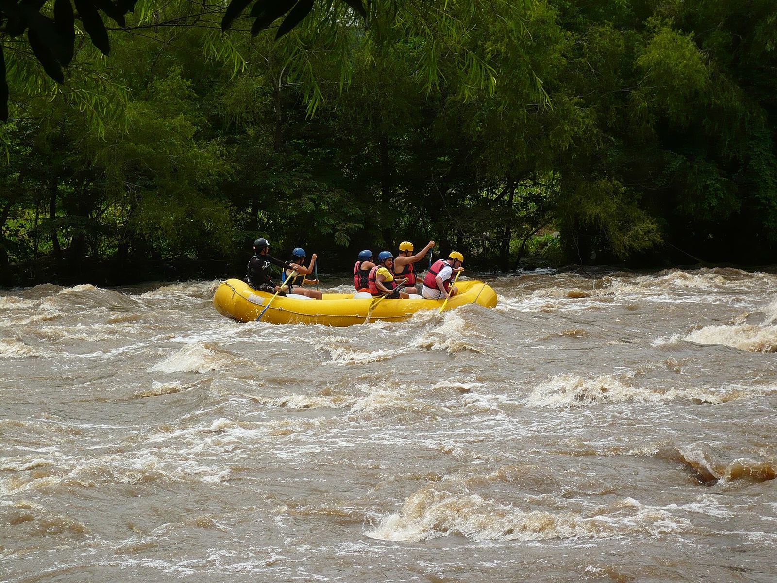
Río Pescados (class III–IV) and Río Antigua (class II–III, good for beginners), about 18 km runs with established outfitters. Most water in the rainy season.


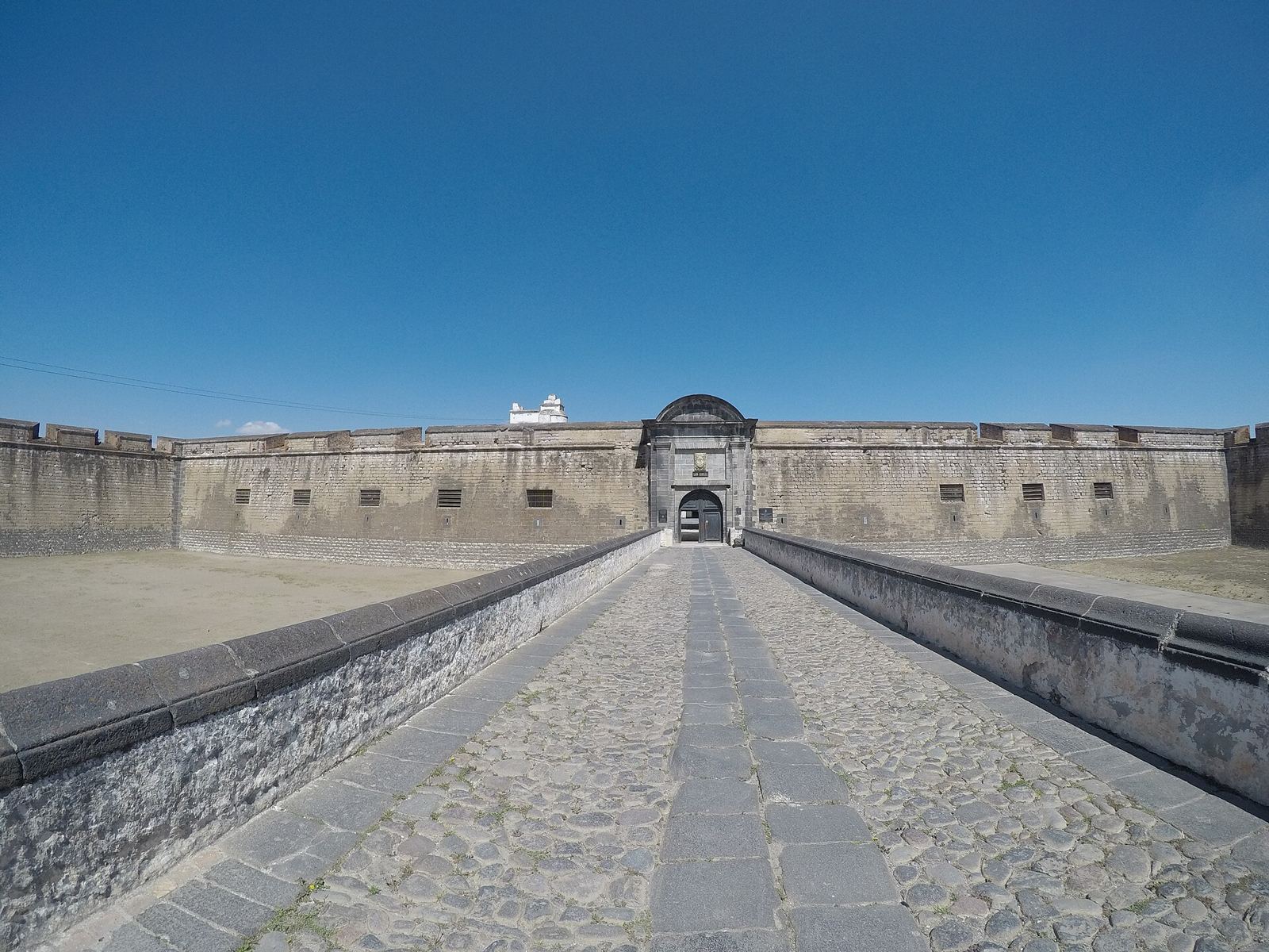
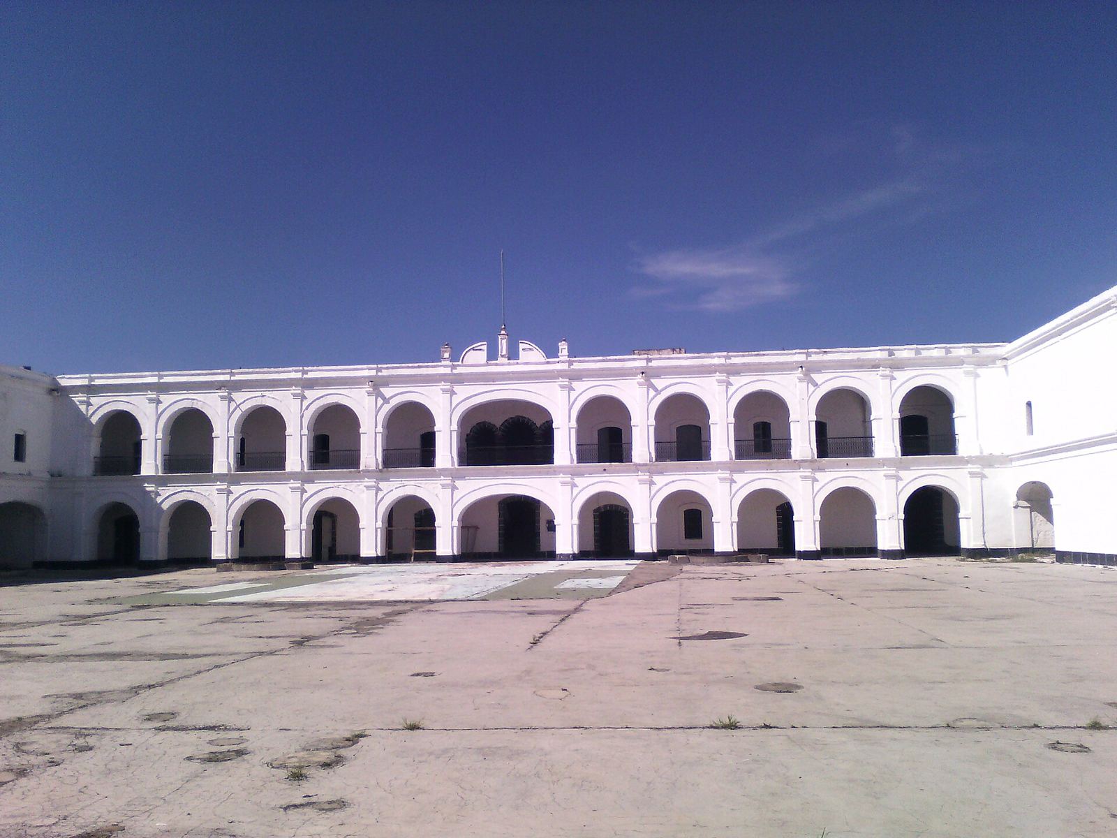
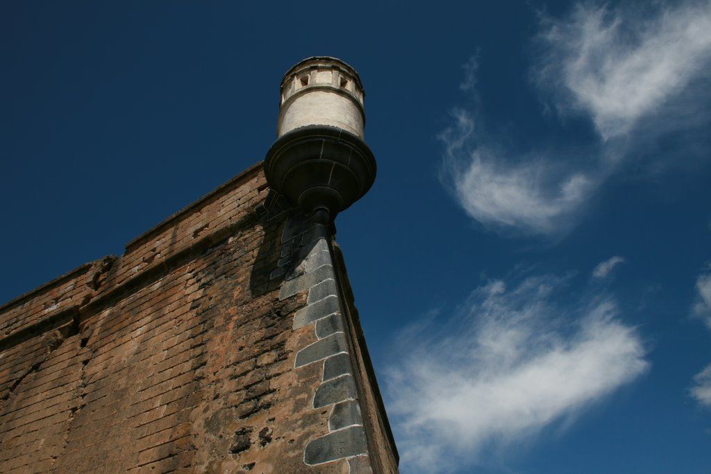
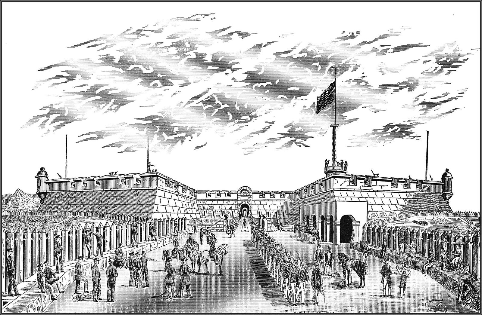
Built 1770–76 to guard the royal road and the treasure convoys. Mexico's first president, Guadalupe Victoria, died here in 1843; Texan prisoners were held here in the 1840s. From 1942 to 1945 it worked as an internment camp for German, Italian and Japanese civilians, most of whom had committed no crime. Few German visitors know this. The reference book is Carlos Inclán's Perote y los nazis (UNAM, 2013). Reported as a museum today; check current hours.


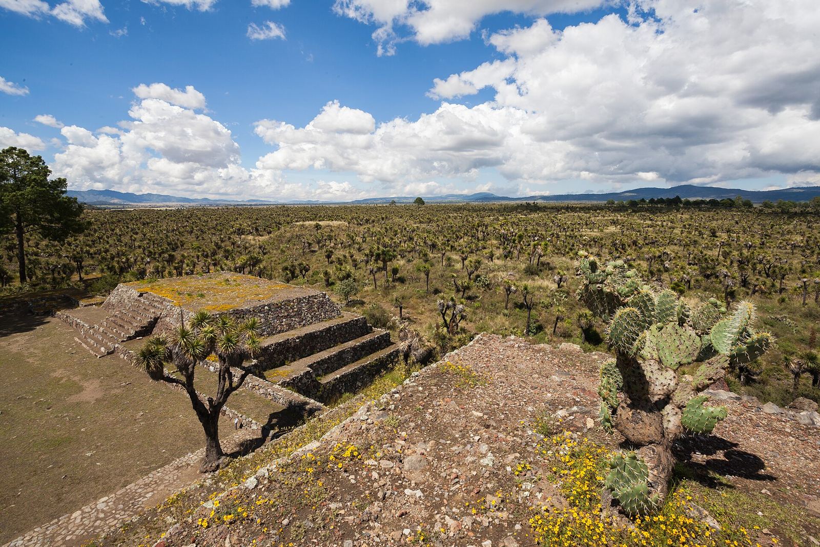
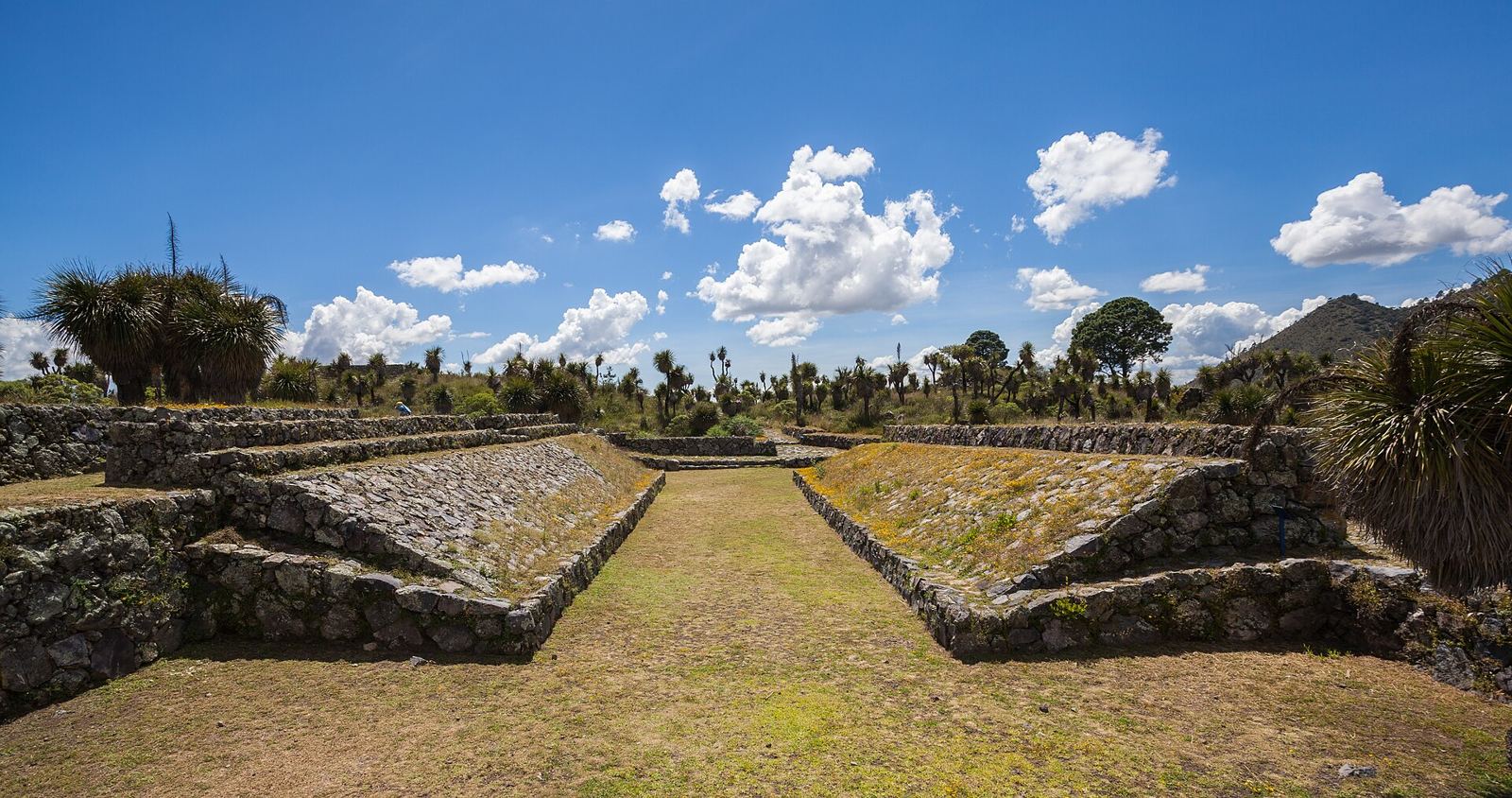
A city of 1,453 hectares with 27 ballcourts, the most of any site in Mesoamerica, and only 2% consolidated. Tour companies already sell Cantona plus Alchichica as a day trip from Puebla for about US$200 a person, starting two hours further away than the station.

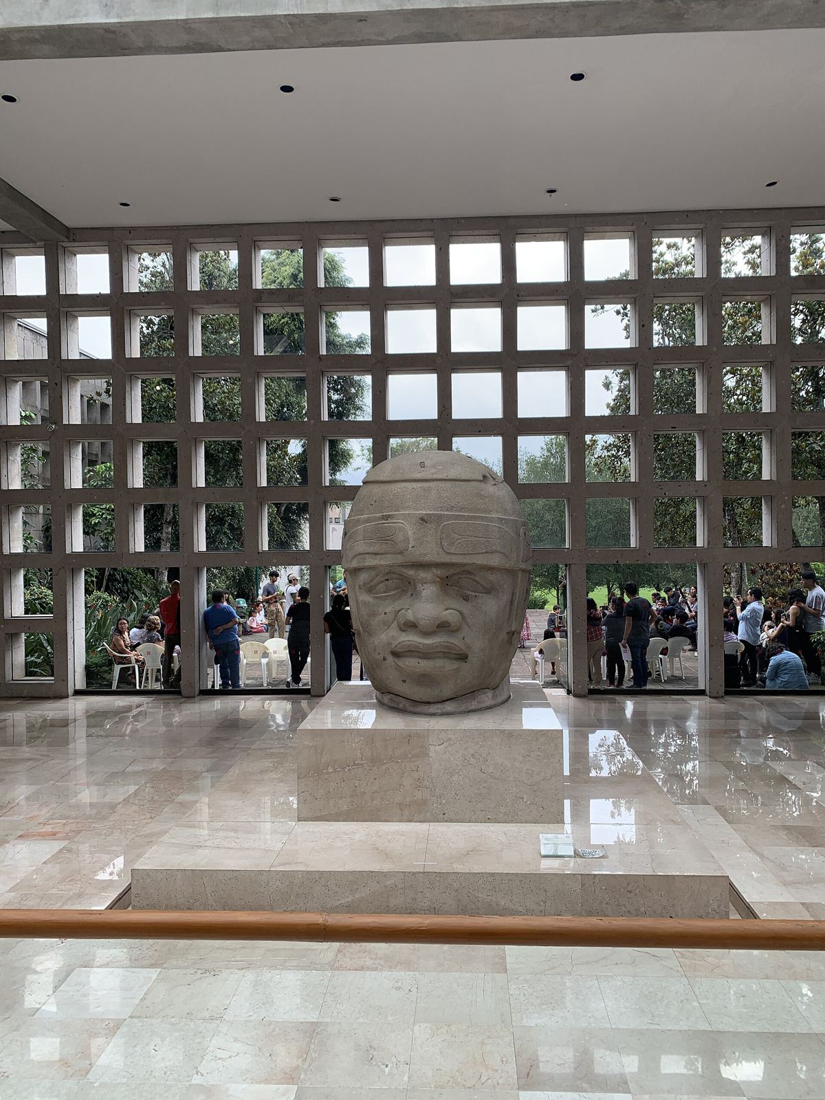
Seven Olmec colossal heads. Routard calls it the second most important museum of its kind in Mexico.

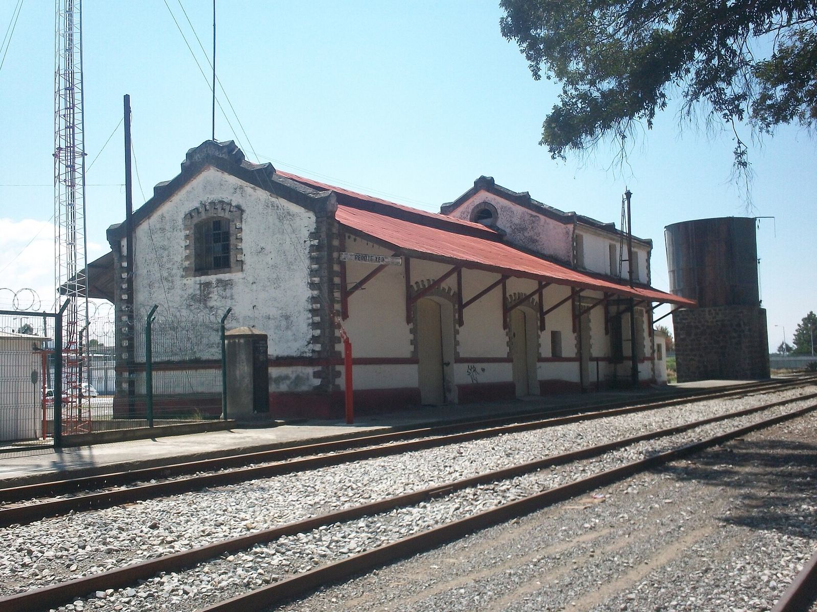
Perote still has its old station building by the tracks, a few minutes from the fort. For a guesthouse called La Estación, it belongs in the welcome notes.

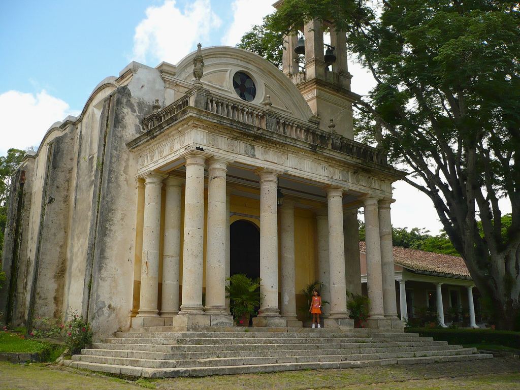
Santa Anna's former hacienda outside Xalapa, now a museum with gardens and a chapel. Pairs with the Xalapa museum on a cloud-forest day.

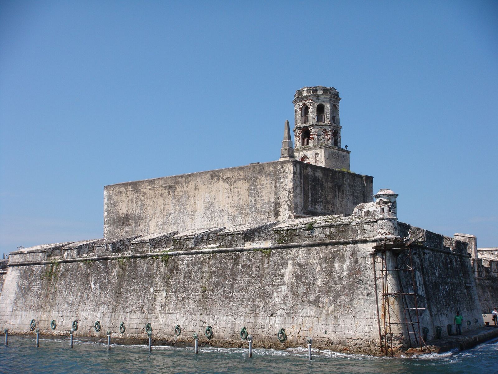
The island fortress in Veracruz harbour guarded the sea end of the road that San Carlos watched from the top of the climb. Begun in the 16th century, it was Spain's last foothold in Mexico until 1825, four years after independence, and later a prison where Benito Juárez was held in 1853. Now a museum. A long day out, or a stop on the way to or from Veracruz airport.

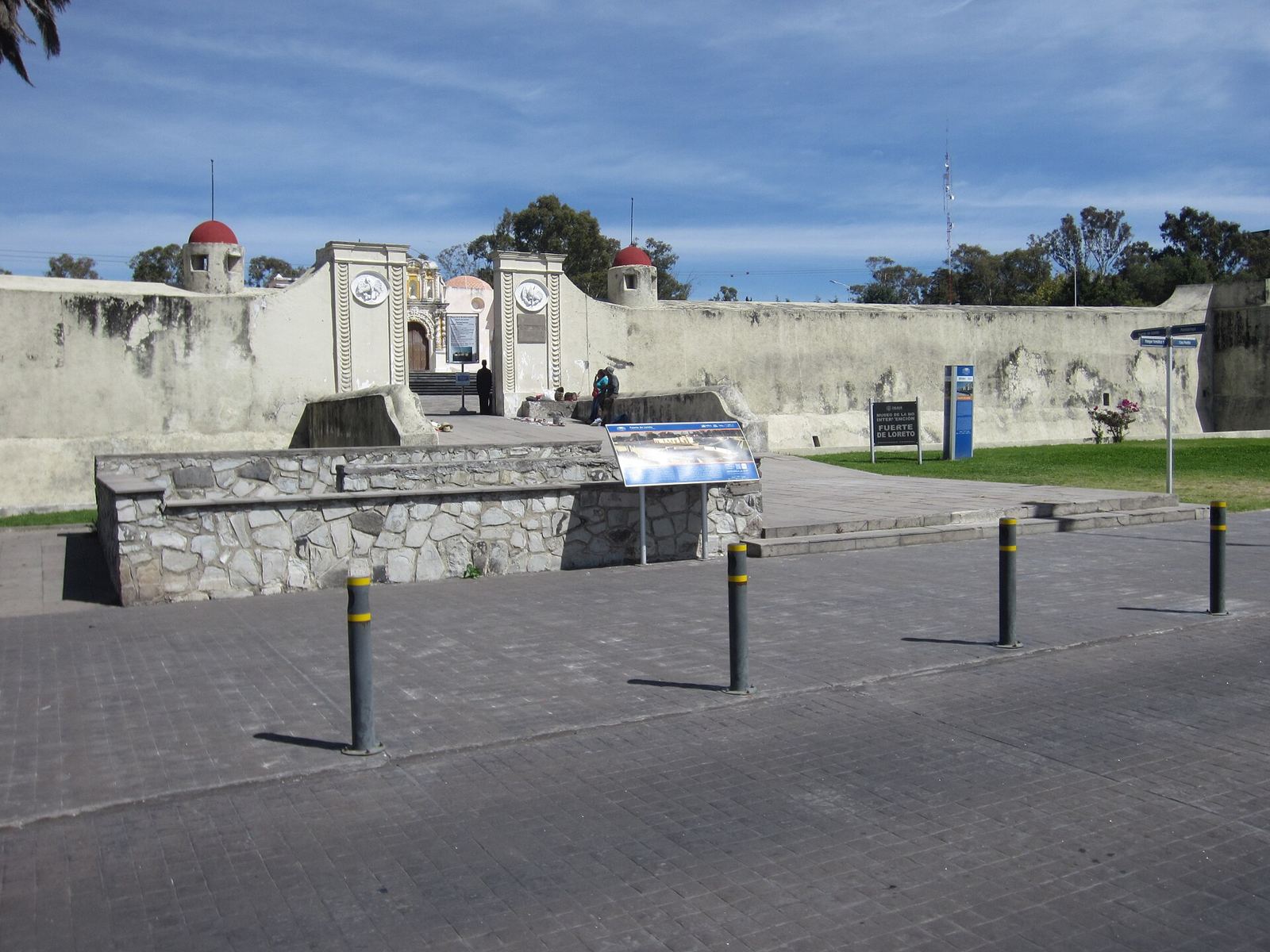
Where Mexican troops under Ignacio Zaragoza beat the French army on 5 May 1862, the battle behind Cinco de Mayo. The fort now holds the Museo de la No Intervención. A natural stop for guests driving in from Puebla or Mexico City, and a story French guests rarely hear told from this side.


Four Pueblos Mágicos within an hour. Coatepec has finca tours (Museo del Café, Bola de Oro, Finca Fátima, Don Silvano) and the national coffee fair in May. Xico has the Texolo waterfall and the July fiestas of Santa María Magdalena (the bull run there may put off some European guests).
The Cofre pine forest is rich in edible mushrooms, and women collectors from El Escobillo and Rancho Nuevo on the park edge sell them. A guided foraging walk with them, followed by a cooking class at the station, would sell to European guests.
Perote sits in the Cofre–Orizaba potato belt. Smoked meats, La Joya cheese, trout farms and pulque were all mentioned to us but could not be confirmed. The family will know these better than any website.
Hawk Mountain calls it the largest raptor migration count on the globe: 365,650 broad-winged hawks in ten hours on one day in 2019. Counts are posted live on Trektellen, a Dutch site European birders already read.
Dec–Feb snow on the Cofre, frost at the station. Mar–May clear skies over the lakes; coffee fair in May. Jun–Oct rains fill the salt flats and the mushrooms fruit; Xico fiestas in July. Late Sep–Oct the raptor river; Perote's patron saint on 29 September.
About 2 million Europeans visited Mexico in 2025 (UK, Italy, Spain, France and Germany lead). Routard covers Xalapa, Coatepec and Xico but never mentions Perote, the fortress, the lakes or Cantona. Foreign guests were only 6.7% of hotel nights in Veracruz, so almost nobody here sells to Europeans. In a 2026 survey of 8,000 Europeans, 53% were interested in slow travel: a few nights in one base with day loops is exactly that.
Lufthansa flies Frankfurt and Munich to Mexico City, Iberia flies Madrid. From the capital it is about three hours by car or a direct ADO/AU bus from TAPO to Perote in about four. Veracruz airport is about two hours, Xalapa one hour by hourly bus. A pickup from Perote's bus station is an easy service to offer.
Highway hotels in Perote (Hostería Covadonga is the best rated), cloud-forest cabins on Airbnb aimed at Xico and Coatepec, the two mountain eco-centres, and one upmarket hacienda, Tepetlcalli 1870 in Tepeyahualco, on the lakes side. Nothing found that sells itself in German, French or English as a base for the Cofre, the lakes, Cantona and the fort.
For the listing and the website
Check before marketing